
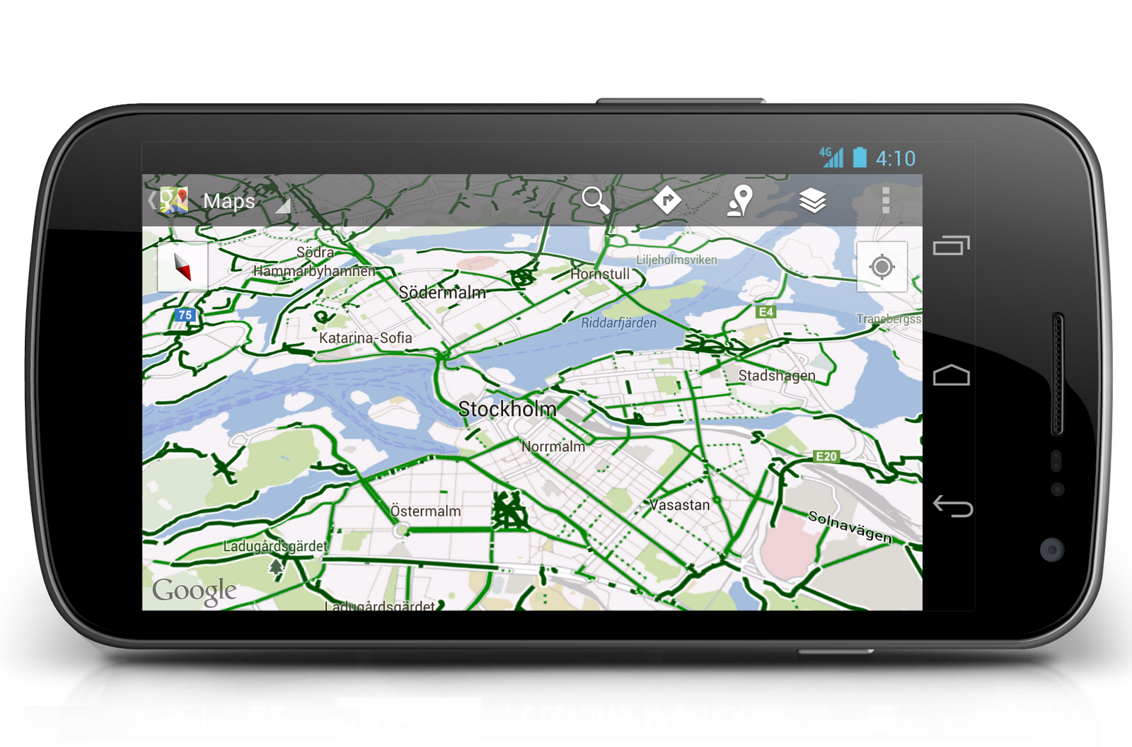
Bikers seem to get the shaft when it comes to location services more often than not, but Google is changing all that with the latest change to Google Maps today. The updated application will now allow users to navigate biking trails in case they’re getting around on the emissions-friendly vehicle.

Google uses the crowd-sourced Map Maker program to allow you and your rolling peers to lay out safe tracks, pathways, and street lanes for biking to get to a certain place. Hundreds of cities are supported, and with the help of Rails-to-Trails and other nonprofit organizations more will be added over time. Find the updated app in the Play Store here. [Google]


They monitor bike traffic too?
I’m pretty sure those are just the bike “paths”.
I’m glad they added this but summer is over …
Exactly, finally cooling off enough to take the bike out.
When you live in Texas, summer being over marks the beginning of bike season.
Finally!
If that were Indianapolis, there would be like three lines on the screen, none connected. :-/ OK I kid, they’re working on it…