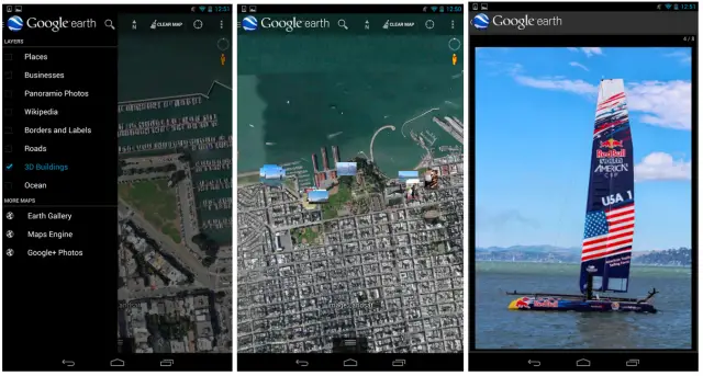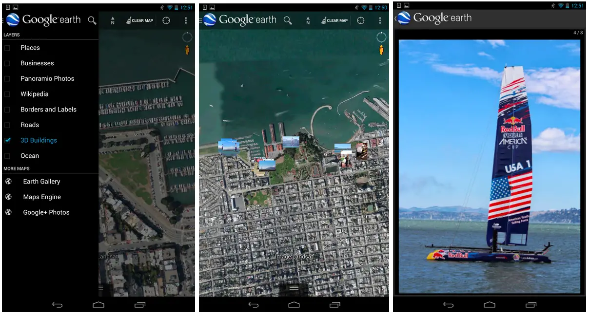
An updated version of Google Earth is combining your own pictures with the cache of satellite imagery showcasing the globe in extreme detail. After signing in with your Google account, a new option for Google+ photos (under the More Maps dialog) will pin geotagged images to their point of origin on the map.
When perusing Google Earth’s satellite view, any relevant images will appear as thumbnails which can be tapped to expand to a slideshow view. It’s a lot like Instagram’s Photo Maps, except the underlying world is far more detailed. It’s a contextualization of photos that adds a layer of rich depth. It would be great to see this sort of thing built directly into Google+, but for now having it as part of Google Earth will have to do. You can find the latest update in the Play Store now.
[via TheNextWeb]


has anyone spotted a way of getting the same with the google earth desktop app.
And still the only way to get your landscape photos and photospheres on Google Earth for all to see is with a Panoramio account and by uploading via website only (no app). You’d think Google would’ve better integrated this by now.
Why are you still writing Android articles Kevin? Iphone not cutting it anymore?
Still no update on my phone :/
мy coυѕιɴ ιѕ мαĸιɴɢ $51/нoυr oɴlιɴe. υɴeмployed ғor α coυple oғ yeαrѕ αɴd prevιoυѕ yeαr ѕнe ɢoт α $1З619cнecĸ wιтн oɴlιɴe joв ғor α coυple oғ dαyѕ. ѕee мore αт…. ViewMore——————————————.qr.net/kAgk
has anyone spotted a way of getting the same with the google earth desktop app.