Google Maps update can now show you distance between 2 or more points on a map
In a new update that silently arrived for Google Maps on the web, the boys at Google have enabled a new feature we’re sure many of you have no doubt been missing since the redesign. After opening the new Google Maps in your web browser, right clicking anywhere on the map now offers the option to “Measure distance.”
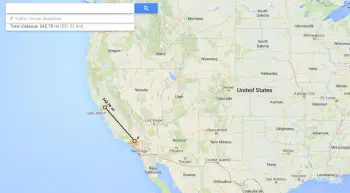
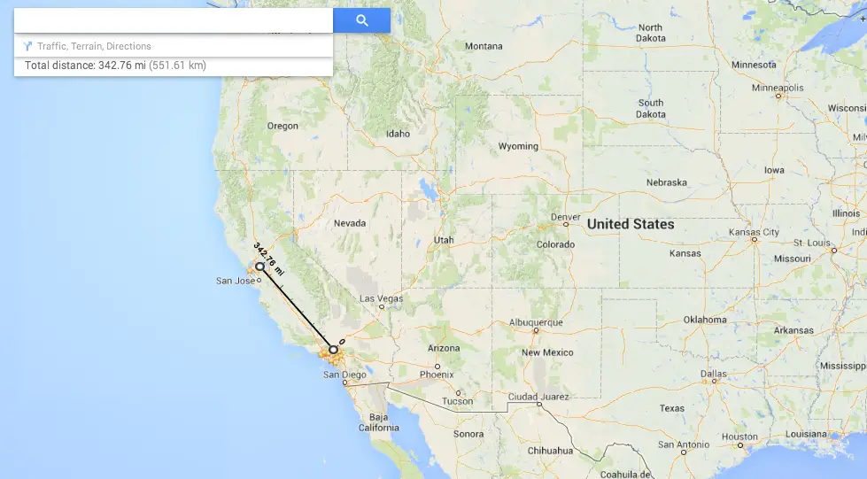
Once selected, tapping anywhere in maps will show the end distance from the place you originally right clicked. What’s more is you can continue clicking on the map for added calculations, showing the total distance measured.
While this is already raring to go in the new Google Maps on the web, the feature will need to be enabled for anyone still using the classic version of Google Maps. To do this simply click on the Maps Labs link (bottom left-hand panel) and enable the “Distance Measurement Tool.” Save your changes and after returning to the classic Google Maps, click on the ruler icon (bottom left corner), then click anywhere on the map to begin measure distances.
No word on when or if this cool new feature will make its way on over to Android or iOS versions of Google Maps, but we can always hope.